Tour du Queyras (GR 58)
A high circuit through the quiet valleys of the Queyras Regional Natural Park
The Tour du Queyras circles the high valleys of the regional park, connecting villages, larch forests and broad passes in one of the most self-contained long-distance walks in the French Alps.
104 km · 7,556 m ascent · 7 stages · 7–10 days · · France
About the Tour du Queyras
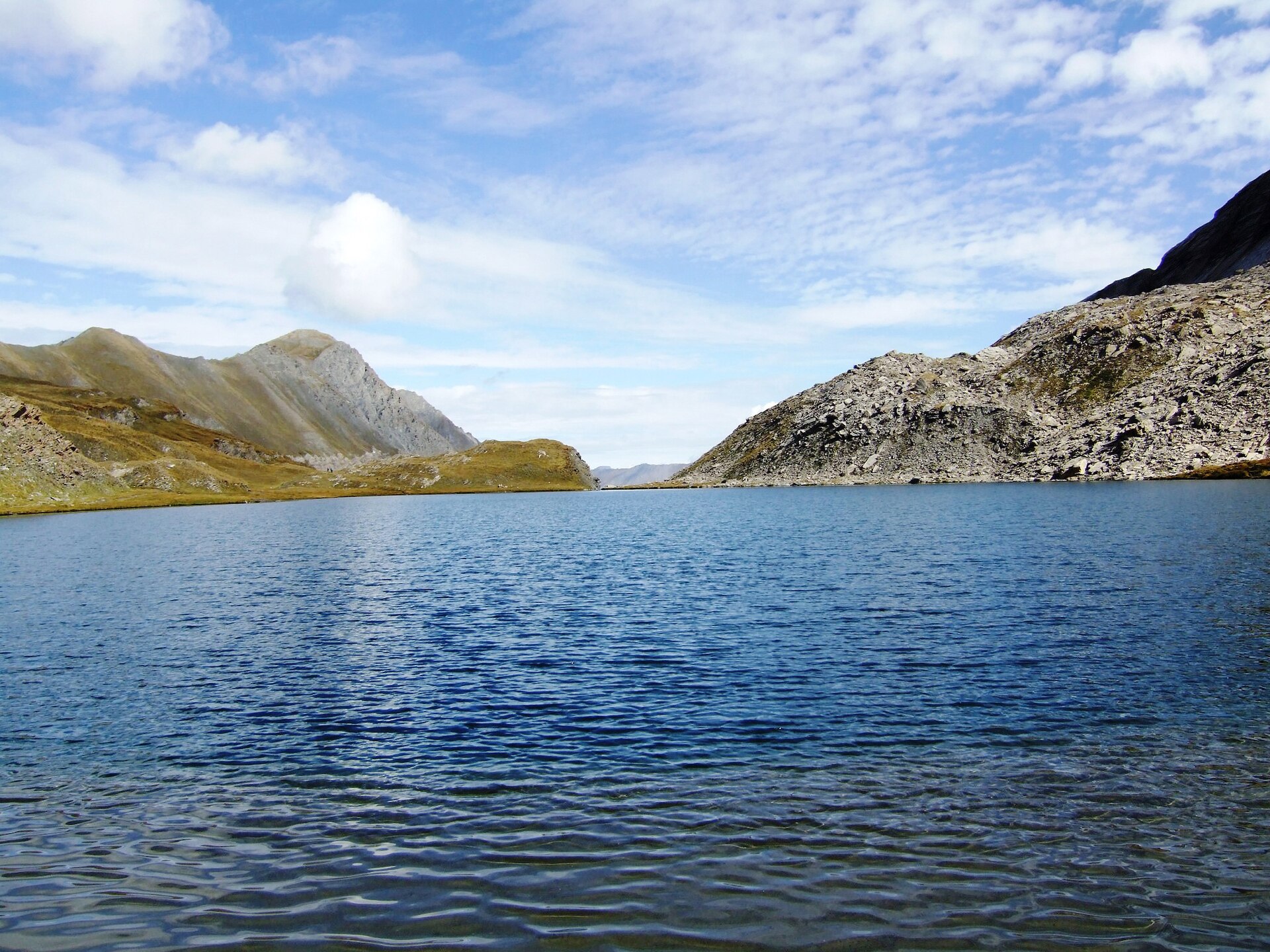
The GR58 makes a high circuit of the Queyras, moving between Ceillac, Saint-Véran, the Col Agnel country, Abriès and the Guil valley before returning to the eastern side of the park.
The Queyras is a superb middle ground for a first long alpine circuit: high enough for real passes and weather, settled enough that villages and refuges keep the logistics manageable. The route's character comes from its variety — larch forest, dry southern slopes, open plateaux and long views toward the Italian border.
A week is realistic for strong walkers, while eight to ten days leaves room for a shorter day, a summit or a weather change. The stored line follows the established circuit; local signs and accommodation options can change, so use the track as a planning foundation rather than a promise of current trail conditions.
The Queyras often feels quieter than the headline Alpine circuits. That is part of the appeal, but it also means you should plan food, transport and refuge nights before leaving the valley network.
The 7 classic stages
Stage 1: Ceillac to Saint-Véran
Ceillac to Saint-Véran · 14.6 km · 1,057.84 m ascent · 1,059.8 m descent
Leave Ceillac through larch and open pasture, crossing toward Saint-Véran and the high eastern valleys.
Stage 2: Saint-Véran to the Col Agnel
Saint-Véran to Col Agnel · 14.6 km · 1,057.84 m ascent · 1,059.8 m descent
A high day toward the Italian border, with long southern light and the Queyras' signature dry slopes.
Stage 3: Col Agnel to Abriès
Col Agnel to Abriès · 15.6 km · 1,133.4 m ascent · 1,135.5 m descent
Drop into the Guil valley and the eastern villages, with the high pass behind and the border ridges ahead.
Stage 4: Abriès to Brunissard
Abriès to Brunissard · 15.6 km · 1,133.4 m ascent · 1,135.5 m descent
Thread the park's settled valleys and open slopes toward the historic hamlets below the Casse Déserte.
Stage 5: Brunissard to Arvieux
Brunissard to Arvieux · 14.6 km · 1,057.84 m ascent · 1,059.8 m descent
A rolling section through larch and pasture, with enough height to keep the surrounding peaks in view.
Stage 6: Arvieux to Furfande
Arvieux to Furfande · 14.6 km · 1,057.84 m ascent · 1,059.8 m descent
Climb back into the high chalets and broad balcony paths above the valley.
Stage 7: Furfande to Ceillac
Furfande to Ceillac · 14.6 km · 1,057.84 m ascent · 1,059.8 m descent
Close the circuit over the final ridges and descents back toward Ceillac.
Refuges, gîtes and huts on the circuit
- km 8.1 — Gîte d'étape Le Riou Vert, — (stage 1)
- km 15.0 — Refuge de Furfande, 2,300 m (stage 2)
- km 55.6 — L'Edelweiss, — (stage 4)
- km 55.9 — Ancolie bleue, — (stage 4)
- km 58.7 — Le Cassu, — (stage 4)
- km 68.5 — Refuge de la Monta, — (stage 5)
- km 79.8 — Refuge Agnel, 2,580 m (stage 6)
- km 79.8 — Refuge Agnel d'hiver, 2,582 m (stage 6)
Cols on the classic line
Know before you go
- Late June to September is the normal hiking season; check snow on the higher passes at the start of summer.
- The circuit links villages and refuges, but shops are not evenly spaced. Plan food around the actual stage, not the map label.
- Storms build over the high passes even when the valley is warm and clear. Start early and keep a lower alternative in mind.
- The route crosses a dry, sunny part of the Alps. Carry water and protect against heat as seriously as you protect against cold.
- Book popular refuges and gîtes in July and August, especially around Saint-Véran and the Col Agnel corridor.
Frequently asked questions
How long is the Tour du Queyras?
The stored circuit is about 104 km with roughly 7,600 m of ascent. Most walkers allow seven to ten days.
Is the Tour du Queyras difficult?
It is a demanding but non-technical alpine hike. Expect repeated passes, long ascents, heat in the dry valleys and rapid weather changes at altitude.
Where does the Tour du Queyras start?
The circuit can be joined from several villages. Ceillac is a common starting point, and the route returns to the same Queyras valley system.
When should you walk the GR58?
Late June to September is the usual season, subject to snow on the passes and the opening dates of refuges and village accommodation.
More multi-day routes
- Aiguilles Rouges Circuit — 50 km, 6 stages
- Alta Via 1 — 113 km, 8 stages
- Alta Via 2 — 159 km, 7 stages
- Alta Via dei Silenzi — 180 km, 7 stages
- Grand Tour du Chambeyron — 70 km, 5 stages
- Haute Route Bernoise — 57 km, 4 stages
- Haute Route Chamonix–Zermatt — 210 km, 10 stages
- Sentiero Roma — 40 km, 4 stages
- Tour des Combins — 95 km, 6 stages
- Tour des Écrins — 194 km, 5 stages
- Tour des Glaciers de la Vanoise — 54 km, 6 stages
- Tour du Beaufortain — 94 km, 6 stages
- Tour du Grand Paradis — 150 km, 6 stages
- Tour du Mont Blanc — 155 km, 10 stages
- Tour du Mont Viso — 43 km, 4 stages
Sources and provenance
Stage metrics, tracks, huts and passes come from the Traverse route database. Conditions change: verify refuge opening, pass conditions and transport before you go.
Page reviewed .