Alta Via 1
The classic north-to-south high route through the eastern Dolomites
Alta Via 1 crosses the eastern Dolomites from Lago di Braies toward Belluno, threading limestone towers, high passes and rifugi into one of the Alps' most iconic hut-to-hut walks.
113 km · 7,295 m ascent · 8 stages · 8–12 days · · Italy
About Alta Via 1
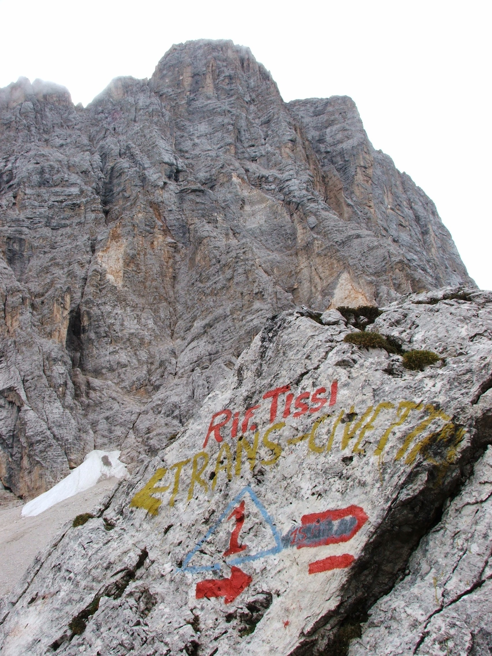
The Alta Via 1 runs south from Lago di Braies through the limestone heart of the Dolomites, linking the Fanes, Tofane, Cinque Torri, Pelmo and Civetta groups before dropping toward Belluno.
This is the Dolomites' signature hut-to-hut route: technically straightforward in settled summer weather, but full of steep limestone paths, exposed traverses and long days between high rifugi. The walking line is more than a valley stroll and deserves mountain judgment even when the trail is dry.
Most parties take eight to twelve days, depending on whether they keep the classic hut splits or add rest days and side trips. The first and last stages can be shortened with local transport, but the high middle section is best treated as a continuous mountain traverse.
The route is waymarked, yet weather changes quickly around the towers. Check each pass, book the rifugi early, and carry an offline copy of the line for the limestone sections where cloud can erase the horizon.
The 8 classic stages
Stage 1: Lago di Braies to Fanes
Lago di Braies to Fanes · 15.8 km · 1,021.3 m ascent · 1,070.44 m descent
Leave the lake for the first high rifugi, with the route quickly trading valley scenery for the pale walls and broad ledges of the Fanes group.
Stage 2: Fanes to Lagazuoi
Fanes to Lagazuoi · 16.9 km · 1,094.25 m ascent · 1,146.9 m descent
A high Dolomite day among limestone towers and wartime history, finishing above the Falzarego corridor.
Stage 3: Lagazuoi to Cinque Torri
Lagazuoi to Cinque Torri · 17 km · 1,094.25 m ascent · 1,146.9 m descent
Descend and traverse below the Tofane toward the Cinque Torri, where cliffs, meadows and rifugi share the same skyline.
Stage 4: Cinque Torri to Passo Staulanza
Cinque Torri to Passo Staulanza · 16.9 km · 1,094.25 m ascent · 1,146.9 m descent
The line bends south through the Pelmo country, with long views and a more open rhythm before the next high group.
Stage 5: Passo Staulanza to Vazzoler
Passo Staulanza to Rifugio Vazzoler · 17 km · 1,094.25 m ascent · 1,146.9 m descent
Move into the Civetta massif, where the route becomes a balcony beneath some of the Dolomites' most severe walls.
Stage 6: Vazzoler to Passo Duran
Rifugio Vazzoler to Passo Duran · 15.8 km · 1,021.3 m ascent · 1,070.44 m descent
A rugged southbound section through the Moiazza and Civetta groups, with rough trail under high limestone faces.
Stage 7: Passo Duran to Pian de Fontana
Passo Duran to Pian de Fontana · 7.9 km · 510.65 m ascent · 535.22 m descent
The route grows quieter as it crosses the Pramparet country toward the final high rifugio of the classic traverse.
Stage 8: Pian de Fontana to Belluno
Pian de Fontana to Belluno · 5.7 km · 364.75 m ascent · 382.3 m descent
The closing descent turns the high route back toward the Veneto foothills and the end of the Alta Via.
Refuges, gîtes and huts on the circuit
- km 5.6 — Rifugio Biella - Seekofelhütte, 2,327 m (stage 1)
- km 5.7 — Centro Studi montani - Winter dormitory, 2,314 m (stage 1)
- km 8.0 — Munt de Sennes, 2,176 m (stage 1)
- km 8.5 — Sennes Hütte, 2,126 m (stage 1)
- km 10.9 — Üćia de Fodara Vedla - Schutzhütte Fodara Vedla - Rifugio Fodara Vedla, — (stage 1)
- km 17.1 — Lavarellahütte - Rifugio Lavarella, 2,050 m (stage 1)
- km 17.2 — Rifugio Fanes, 2,060 m, 70 beds (stage 1)
- km 30.7 — Rifugio Col Gallina, — (stage 2)
- km 33.5 — Rifugio Averau, 2,413 m (stage 2)
- km 34.2 — Rifugio Nuvolau, 2,575 m (stage 2)
- km 36.6 — Rifugio Piezza - Da Aurelio, — (stage 2)
- km 46.6 — Rifugio Città di Fiume, 1,917 m (stage 3)
- km 49.4 — Rifugio Passo Staulanza, — (stage 3)
- km 52.1 — Rifugio Col dei Baldi, 1,922 m (stage 3)
- km 55.1 — Rifugio Adolfo Sonino al Coldai, 2,135 m (stage 3)
- km 58.3 — Rifugio Attilio Tissi, 2,250 m, 65 beds (stage 3)
- km 58.8 — Bivacco Tomè, 2,880 m, 6 beds (stage 3)
- km 63.5 — Rifugio Mario Vazzoler, 1,714 m, 87 beds (stage 3)
- km 66.5 — Rifugio Capanna Trieste, 1,135 m (stage 3)
- km 71.7 — Rifugio Bruto Carestiato, 1,834 m (stage 4)
- km 74.1 — Rifugio San Sebastiano, — (stage 4)
- km 74.1 — Rifugio Passo Duran "C.Tomè", — (stage 4)
- km 80.5 — Malga Moschesin, 1,800 m (stage 4)
- km 83.7 — Rifugio Sommariva al Pramperet, 1,857 m (stage 4)
- km 88.8 — bivacco Dal Mas, — (stage 4)
- km 88.8 — Rifugio Pian de Fontana, 1,632 m (stage 4)
- km 90.1 — Casera La Varetta, 1,709 m (stage 4)
- km 95.3 — Rifugio 7° Alpini, 1,498 m, 68 beds (stage 5)
- km 96.8 — Bivacco Medassa, 1,340 m (stage 5)
- km 154.1 — Rifugio Lagazuoi, 2,752 m, 78 beds (stage 7)
Cols on the classic line
Know before you go
- Late June to late September is the usual window; lingering snow can change the upper passes in early season.
- Rifugi are the backbone of the route and fill early in July and August. Book before building a fixed itinerary.
- Some variants use cables or short protected sections. Check the current guidebook grade and your party's comfort before choosing them.
- Water is not guaranteed between huts on the high sections. Carry enough for the stage and refill where the hut confirms supply.
- The Dolomites are storm-prone. A forecast at Lago di Braies is not a forecast for the next pass.
Frequently asked questions
How long is Alta Via 1?
The stored route is about 113 km. Most walkers take eight to twelve days, depending on hut bookings, side trips and transport at the ends.
Is Alta Via 1 difficult?
The classic line is a serious mountain hike rather than a technical climb. Expect steep limestone trails, exposed sections, high passes and rapidly changing weather.
When should you walk Alta Via 1?
Late June to late September is the normal season, but snow and hut opening dates vary each year. Check the high passes and individual rifugi before departure.
Where does Alta Via 1 start and finish?
The route starts at Lago di Braies in the north and continues south toward Belluno, with local variations in the final descent.
More multi-day routes
- Aiguilles Rouges Circuit — 50 km, 6 stages
- Alta Via 2 — 159 km, 7 stages
- Alta Via dei Silenzi — 180 km, 7 stages
- Grand Tour du Chambeyron — 70 km, 5 stages
- Haute Route Bernoise — 57 km, 4 stages
- Haute Route Chamonix–Zermatt — 210 km, 10 stages
- Sentiero Roma — 40 km, 4 stages
- Tour des Combins — 95 km, 6 stages
- Tour des Écrins — 194 km, 5 stages
- Tour des Glaciers de la Vanoise — 54 km, 6 stages
- Tour du Beaufortain — 94 km, 6 stages
- Tour du Grand Paradis — 150 km, 6 stages
- Tour du Mont Blanc — 155 km, 10 stages
- Tour du Mont Viso — 43 km, 4 stages
- Tour du Queyras (GR 58) — 104 km, 7 stages
Sources and provenance
Stage metrics, tracks, huts and passes come from the Traverse route database. Conditions change: verify refuge opening, pass conditions and transport before you go.
Page reviewed .