Grossglockner
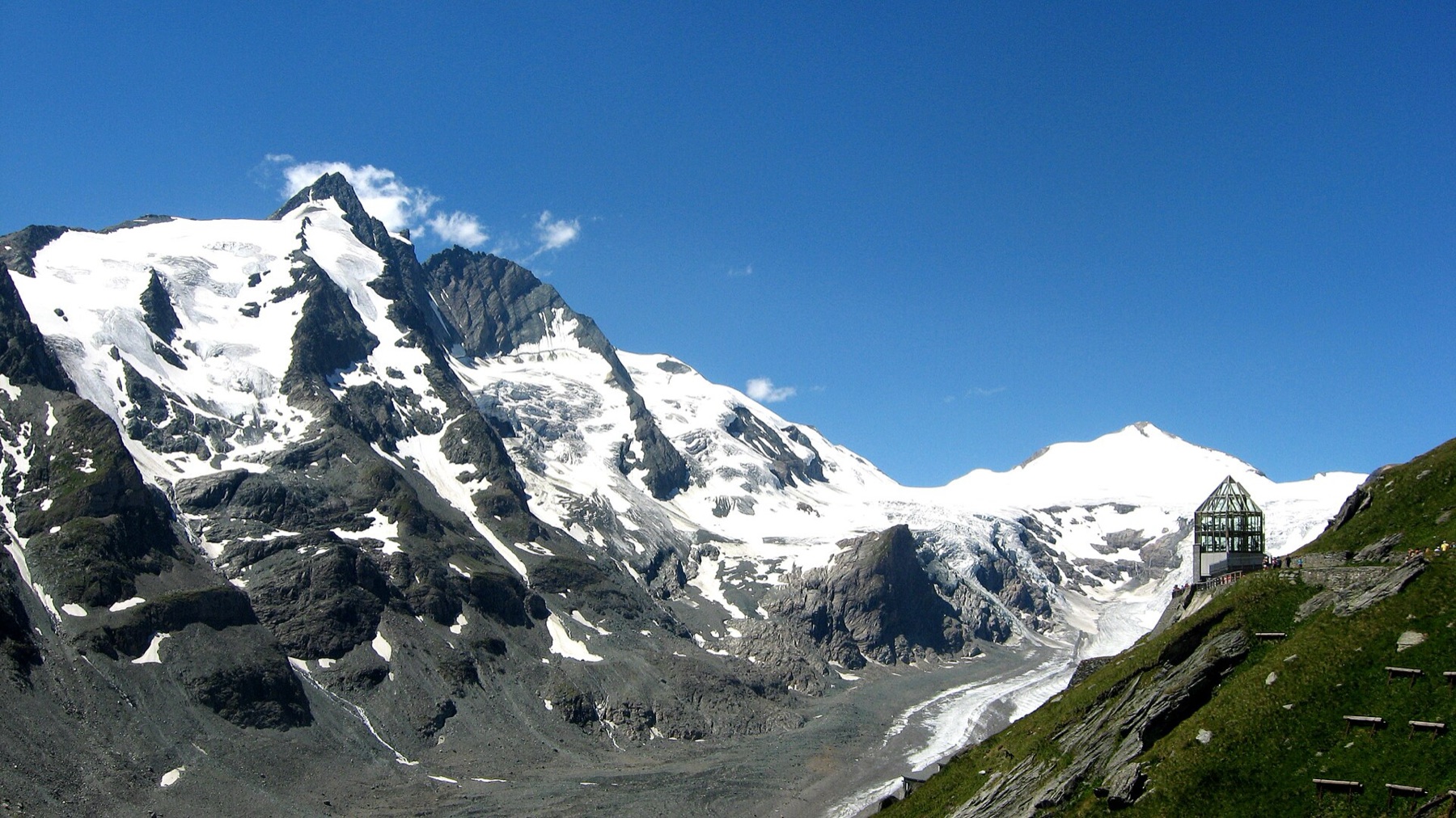
Austria’s highest mountain, rising above the Pasterze glacier in the Hohe Tauern.
- Elevation
- 3,798 m
- Prominence
- 2,423 m
- Coordinates
- 47.07490° N, 12.69340° E
- Range
- Glockner Group
- Region
- Carinthia and Tyrol, Austria
About Grossglockner
Grossglockner is Austria’s highest summit and the centrepiece of the Hohe Tauern, with glaciers and steep ridges above the Pasterze.
The normal route crosses the Ködnitzkees to the Erzherzog-Johann-Hütte and continues over the Kleinglockner to the summit. The Stüdlgrat is a more technical rock and mixed ridge.
Open Grossglockner in Traverse at 47.07490° N, 12.69340° E to inspect 3,798 m of relief, 2,423 m of prominence, and approaches around Carinthia and Tyrol, Austria on 3D terrain.
Notable ascents
- 1800 — First ascent: Martin Klotz and the Kals guides Martin Reicher and Sepp Klotz made the first recorded ascent.
- 1864 — Stüdlgrat: The south-west ridge now known as the Stüdlgrat was first climbed by Josef Anton Specht and guides.
Routes and approaches
Grossglockner routes involve glacier travel, exposed ridges and rapidly changing weather in the Hohe Tauern.
GPX-backed hiking and mountaineering records near Hohe Tauern from the Traverse catalog. Metrics appear only when the source provides them.
More mountains in Traverse
Sources and provenance

Mountain information is factual reference only, not a current conditions or safety report.
Page reviewed .