Aiguille du Chardonnet
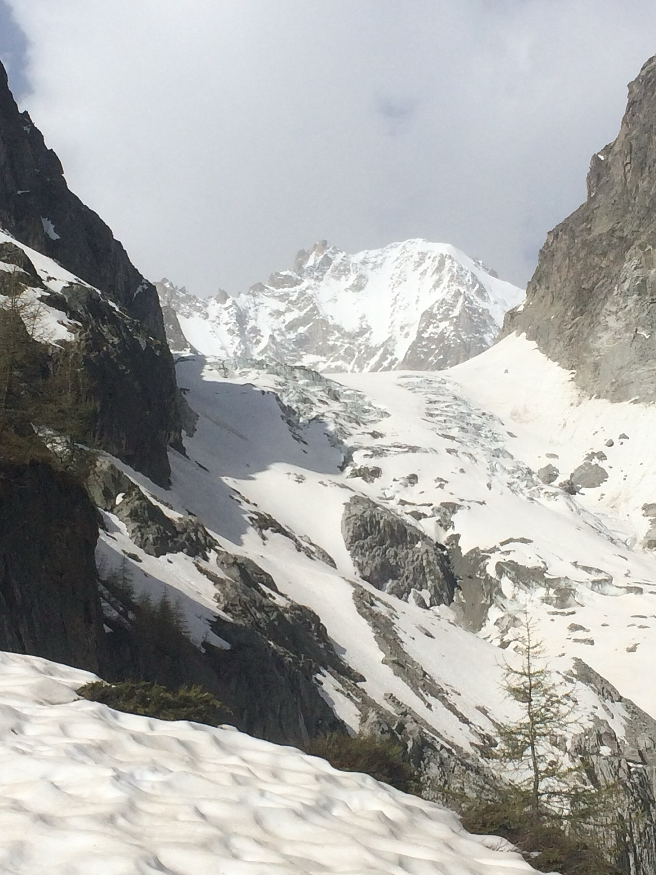
A granite and snow summit between the Glacier du Tour and the Argentière Glacier.
- Elevation
- 3,824 m
- Prominence
- 503 m
- Coordinates
- 45.96889° N, 7.00139° E
- Range
- Mont Blanc massif
- Region
- Haute-Savoie, France
About Aiguille du Chardonnet
Rising above the Argentière and Tour glacier basins, Aiguille du Chardonnet is the highest point on the long ridge between them. Its north side carries snow, ice and mixed lines; the southern side is steeper, rockier and less frequently climbed.
The summit is part of the Mont Blanc massif in Haute-Savoie. The border with Switzerland passes just east of the top. Access is commonly made from the Albert Premier Hut, with the Trient and Saleina huts providing alternatives from the Swiss side.
Open Aiguille du Chardonnet in Traverse at 45.96889° N, 7.00139° E to inspect 3,824 m of relief, 503 m of prominence, and approaches around Haute-Savoie, France on 3D terrain.
Notable ascents
- 1879 — West Ridge: P. Thomas, J. Imboden and J. Lochmatter made the documented ascent now associated with the historic west-ridge line.
- 1899 — Forbes Arête: L., H. and T. Aubert with M. Crettez made the first recorded ascent of the east ridge.
- 1929 — Migot Spur: Camille Devouassoux and André Migot opened the north-spur itinerary.
Routes and approaches
The Forbes Arête is the mountain’s best-known classic. The Migot Spur offers a mixed alternative on the north side, while the west ridge is now commonly used for descent. All are serious glaciated alpine undertakings whose feasibility changes with conditions.
GPX-backed hiking and ski touring records near Chamonix from the Traverse catalog. Metrics appear only when the source provides them.
More mountains in Traverse
Sources and provenance
Mountain information is factual reference only, not a current conditions or safety report.
Page reviewed .