Pumori
Pumori is a mountain on the Nepal–China border in the Mahalangur section of the Himalayas. Pumori lies just eight kilometres west of Mount Everest.
- Elevation
- 7,161 m
- Prominence
- 1,278 m
- Coordinates
- 28.01556° N, 86.82806° E
- Range
- Mahalangur Himal
- Region
- Sagarmatha Zone, People's Republic of China
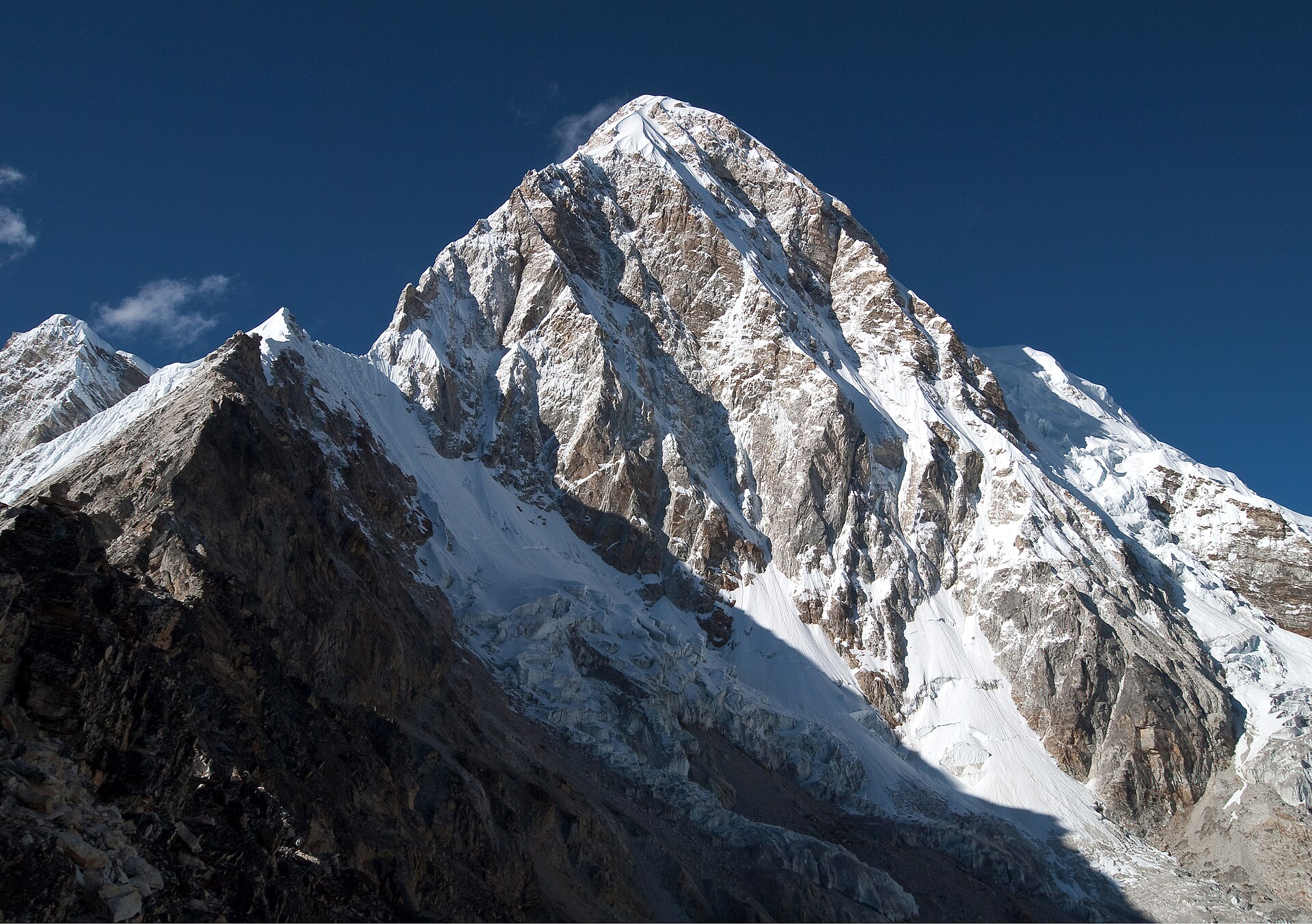
About Pumori
Pumori is a Himalayan summit in the Khumbu region, described by the Himalayan Club at 7,145 m (23,442 ft); its Nepal-side mountain terrain includes the southeast face and west flank. The recognized Khumbu approach places the base camp at Gorakshep beside the Pumori Glacier, reached through the Everest-region settlements and trekking corridor.
Open Pumori in Traverse at 28.01556° N, 86.82806° E to inspect 7,161 m of relief, 1,278 m of prominence, and approaches around Sagarmatha Zone, People's Republic of China on 3D terrain.
Documented mountaineering milestones
- 1962 — First ascent via the southeast face and northeast ridge: Gerhard Lenser, Ernst Forrer, Hans Rützel, Ueli Hürlemann, with Sherpa teammates Nima Tensing and Nima Dorje
- 1972 — First ascent of the south face: Yves Pollet-Villard, Maurice Gicquel, Georges Payot, Yvon Masino, Pierre Blanc, Jean Coudray, Raymond Renaud, with expedition support
Routes and approaches
A documented Khumbu-side access sequence proceeds from Lukla through Phakding, Namche Bazaar, Thyangboche, Pheriche and Lobuche to Gorakshep, with the Pumori base camp established near the Khumbu Glacier.
GPX-backed hiking and ski touring records near Sagarmatha Zone from the Traverse catalog. Metrics appear only when the source provides them.
More mountains in Traverse
Sources and provenance
- Wikidata
- Wikipedia
- Wikimedia Commons image
- Google Trends comparison
- Historical or route context
- Historical or route context
- Historical or route context

Mountain information is factual reference only, not a current conditions or safety report.
Page reviewed .