Lhotse
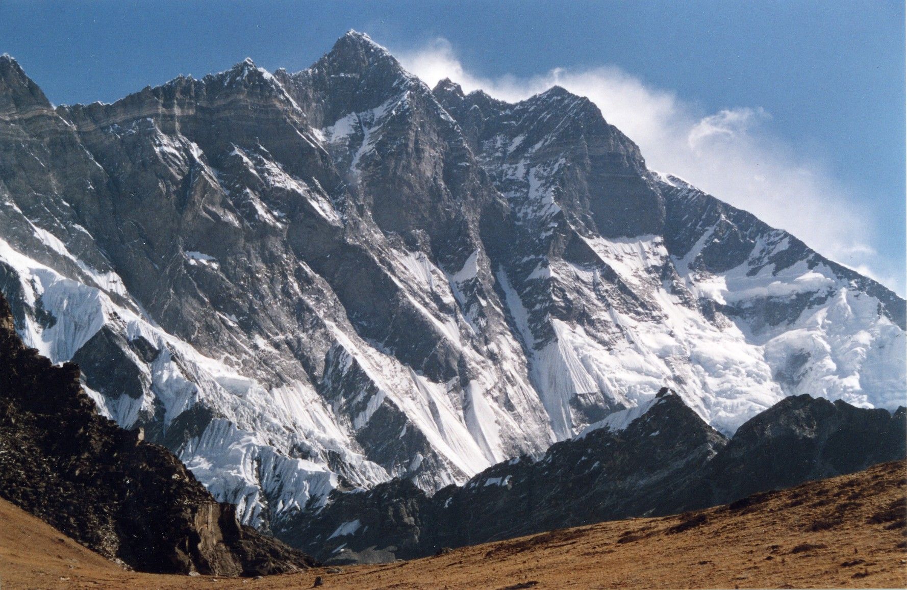
Lhotse is the fourth-highest mountain on Earth, after Mount Everest, K2, and Kangchenjunga. At an elevation of 8,516 metres (27,940 ft) above sea level, the main summit is on the border between the Tibet Autonomous Region of China and the Khumbu region of Nepal.
- Elevation
- 8,516 m
- Prominence
- 610 m
- Coordinates
- 27.96167° N, 86.93333° E
- Range
- Mahalangur Himal
- Region
- Sagarmatha Zone, Nepal
About Lhotse
Lhotse is a mountain massif in the Himalayas on the Nepal–China border; its highest summit, Lhotse I, rises to 8,516 m and is the world’s fourth-highest peak . It lies immediately south of Mount Everest and is connected to it by a high ridge, which has led some references to treat Lhotse as part of the Everest massif .
Open Lhotse in Traverse at 27.96167° N, 86.93333° E to inspect 8,516 m of relief, 610 m of prominence, and approaches around Sagarmatha Zone, Nepal on 3D terrain.
Documented mountaineering milestones
- 1956 — First ascent of Lhotse I via the northwest face and summit couloir: Fritz Luchsinger and Ernst Reiss
- 1956 — Swiss expedition approach and establishment of the route through the Khumbu Glacier, Western Cwm, Lhotse Face, Yellow Band, and Geneva Spur: Albert Eggler-led Swiss expedition, including Fritz Luchsinger and Ernst Reiss
Routes and approaches
The recognised Nepal-side approach follows the Everest route from the Khumbu region through Namche Bazar and Thyangboche to base camp below the Khumbu Icefall, then continues through the Western Cwm and up the Lhotse Face toward the summit couloir .
GPX-backed hiking and ski touring records near Sagarmatha Zone from the Traverse catalog. Metrics appear only when the source provides them.
More mountains in Traverse
Sources and provenance
- Wikidata
- Wikipedia
- Wikimedia Commons image
- Google Trends comparison
- Historical or route context
- Historical or route context
- Historical or route context

Mountain information is factual reference only, not a current conditions or safety report.
Page reviewed .