Mount Vinson
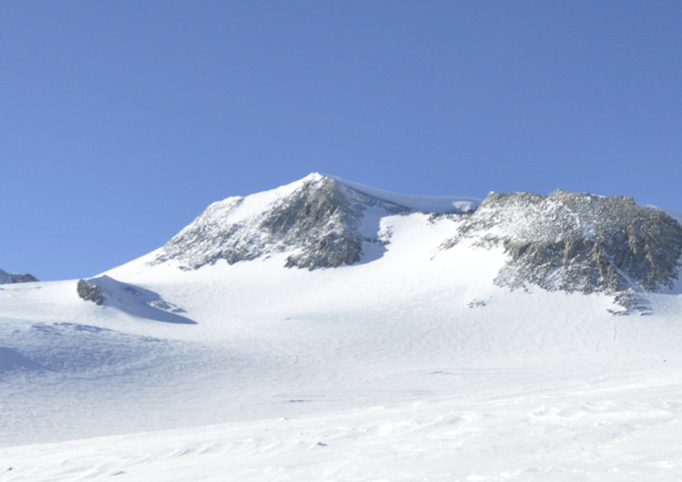
Mount Vinson is the highest peak in Antarctica, rising from the Sentinel Range above the Ronne Ice Shelf in one of the world's most remote high-mountain environments.
- Elevation
- 4,892 m
- Prominence
- 4,892 m
- Coordinates
- 78.52528° S, 85.61722° W
- Range
- Sentinel Range
- Region
- Ellsworth Mountains, Antarctica
About Mount Vinson
Mount Vinson occupies the north part of the Vinson Massif, a broad Antarctic mountain complex whose ridges, glaciers and summit plateau sit roughly 1,200 kilometres from the South Pole.
The standard expedition approaches from the Ronne Ice Shelf side and uses the Branscomb Glacier to reach high camp. The route is not known for complex rock climbing on its normal line, but cold, wind, crevasse risk and isolation make every decision consequential.
Vinson is usually climbed as part of a professionally organized Antarctic expedition. Flights, weather windows, rescue limits and cargo logistics shape the trip as much as the summit route itself.
A satellite image can make the massif look abstract; the 3D terrain restores the scale of the glacier and ridge system. Use it for orientation and planning, then defer to the expedition operator's current briefings.
Documented mountaineering milestones
- 1958 — Vinson Massif identified from aerial reconnaissance: The Sentinel Range became a focus of Antarctic geographic exploration
- 1966 — First ascent of Mount Vinson: Nicholas Clinch and the American Antarctic Mountaineering Expedition
Routes and approaches
The standard route uses the Branscomb Glacier and the west side of the massif. Antarctic access, flights and expedition logistics are inseparable from the route plan.
GPX-backed hiking, mountaineering and ski-touring records near Vinson Massif from the Traverse catalog. Metrics appear only when the source provides them.
More mountains in Traverse
Sources and provenance
.jpg)

Mountain information is factual reference only, not a current conditions or safety report.
Page reviewed .