Mount Rinjani
Mount Rinjani is an active volcano on Lombok, Indonesia, with a high caldera, Segara Anak crater lake and a summit ridge that makes it one of Southeast Asia's signature treks.
- Elevation
- 3,726 m
- Prominence
- 3,726 m
- Coordinates
- 8.41667° S, 116.46667° E
- Range
- Lesser Sunda Islands
- Region
- Lombok, West Nusa Tenggara, Indonesia
About Mount Rinjani
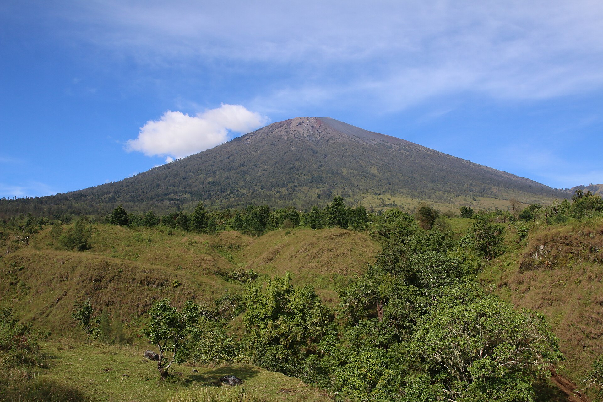
Rinjani rises above Lombok as a large active volcano, with a broken summit ridge, the Segara Anak caldera lake and the younger Barujari cone inside the crater.
The trek is defined by contrast: hot lower slopes, dark volcanic sand, a high exposed rim and a summit push that can feel much harder than the map distance suggests. Weather and volcanic conditions can change access to individual sections.
Sembalun is the usual starting point for the summit-side approach, while Senaru provides a different forested route toward the crater rim. A full itinerary can connect the rim, lake and hot-spring area when park access allows.
Rinjani is an active volcanic landscape, not simply a scenic trail. Follow current park closures, guide requirements and local briefings, especially after seismic or eruptive activity.
Documented mountain milestones
- 1997 — Rinjani National Park established: Formal park protection frames the modern trekking landscape
- Modern trekking era — Sembalun and Senaru crater-rim routes become established objectives: Local guiding and park access shape the practical itinerary
Routes and approaches
Sembalun, Senaru and crater-rim itineraries offer different approaches to the summit and Segara Anak. Park closures and volcanic activity can change which sections are open.
GPX-backed hiking, mountaineering and ski-touring records near Mount Rinjani National Park from the Traverse catalog. Metrics appear only when the source provides them.
More mountains in Traverse
Sources and provenance


Mountain information is factual reference only, not a current conditions or safety report.
Page reviewed .