Mount Fuji
Mount Fuji is Japan's highest mountain, an active stratovolcano whose symmetrical cone, summit crater and cultural presence have shaped the landscape and imagination of the country.
- Elevation
- 3,776 m
- Prominence
- 3,776 m
- Coordinates
- 35.36056° N, 138.72750° E
- Range
- Fuji volcanic zone
- Region
- Yamanashi and Shizuoka, Japan
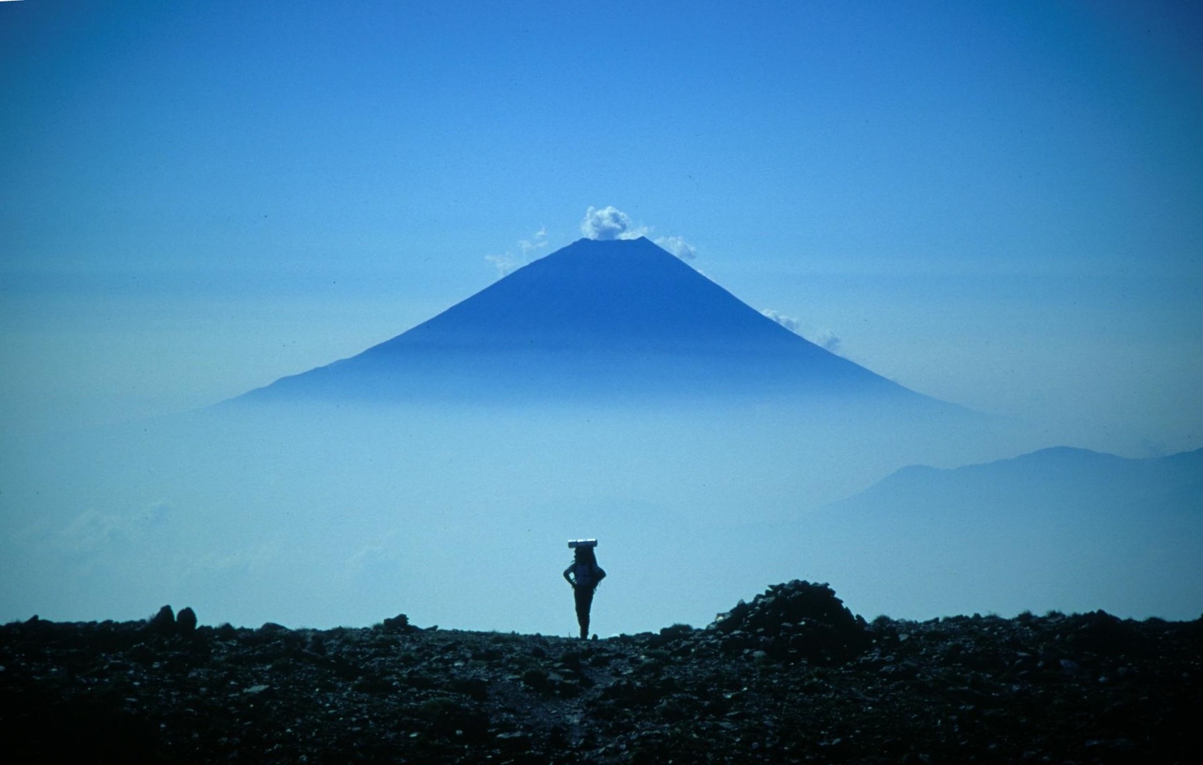
About Mount Fuji
Mount Fuji rises between Yamanashi and Shizuoka as a near-perfect stratovolcano, with a broad summit crater and a network of official climbing routes above the fifth stations.
The mountain is straightforward to describe and easy to underestimate. The trail is steep, the altitude is real, weather can turn quickly above the tree line and the most popular summit windows bring crowd and timing constraints.
Yoshida, Subashiri, Gotemba and Fujinomiya offer different lengths, surfaces and access patterns. Compare the entire approach rather than choosing only by the trailhead's elevation.
Fuji is also a cultural landscape, not just a summit line. Respect seasonal openings, local rules and the communities around the trailheads while keeping the climb within your own weather and altitude limits.
Documented mountain milestones
- 663 — Traditional first ascent attributed to En no Ozunu: An early mountain tradition associated with Fuji's sacred history
- 1707–08 — Hōei eruption: The most recent recorded eruption formed the Hōei crater on the southeastern flank
Routes and approaches
The four principal summit routes are Yoshida, Subashiri, Gotemba and Fujinomiya. Their trailheads, shelter patterns and summit-day logistics differ substantially even when they converge near the crater.
GPX-backed hiking, mountaineering and ski-touring records near Mount Fuji from the Traverse catalog. Metrics appear only when the source provides them.
More mountains in Traverse
Sources and provenance


Mountain information is factual reference only, not a current conditions or safety report.
Page reviewed .