Mount Fairweather
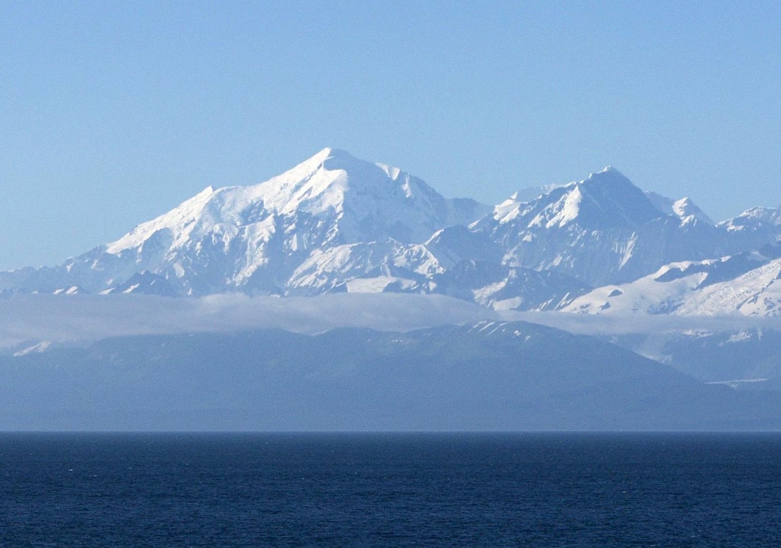
Mount Fairweather is a mountain located 20 km (12 mi) east of the Pacific Ocean on the Canada–United States border. With an elevation of 4,653 metres (15,266 ft), it is the tallest mountain in British Columbia and the seventh-tallest mountain in both Alaska and the United States.
- Elevation
- 4,671 m
- Prominence
- 3,951 m
- Coordinates
- 58.90650° N, 137.52658° W
- Range
- Fairweather Range
- Region
- Alaska, Canada
About Mount Fairweather
Mount Fairweather is a 15,300-foot (4,663-meter) peak on the United States–Canada boundary and the tallest mountain in Glacier Bay National Park and Preserve; it was named by Captain James Cook in 1778, reportedly for the favorable weather he encountered. The mountain is one of North America’s most prominent coastal peaks and is recognized by the National Park Service as the tallest peak in British Columbia because it straddles the international boundary.
Open Mount Fairweather in Traverse at 58.90650° N, 137.52658° W to inspect 4,671 m of relief, 3,951 m of prominence, and approaches around Alaska, Canada on 3D terrain.
Documented mountaineering milestones
- 1931 — First ascent via the westernmost southern spur, later known as the South Ridge/Carpe Ridge: Allen Carpe and Terris Moore
- 1958 — Second ascent via Carpe Ridge, by the Canadian Centennial Expedition in two summit parties on June 26–27: Paul Binkert, Fips Broda, Joe Hutton, Walter Romanes, Paddy Sherman, David Blair, Dennis Moore, and Russell Yard
- 1968 — First ascent of the West Ridge, following the route attempted in 1926: Walter Gove, Loren Adkins, Paul Meyhre, John Neal, and Kent Stokes
Routes and approaches
Mount Fairweather mountaineering access is generally remote and is commonly arranged by charter boat or floatplane from Juneau, Gustavus, Haines, or Yakutat, with fixed-wing landings permitted in the park.
GPX-backed hiking and ski touring records near Alaska from the Traverse catalog. Metrics appear only when the source provides them.
More mountains in Traverse
Sources and provenance
- Wikidata
- Wikipedia
- Wikimedia Commons image
- Google Trends comparison
- Historical or route context
- Historical or route context
- Historical or route context
- Historical or route context

Mountain information is factual reference only, not a current conditions or safety report.
Page reviewed .