Mount Everest
Mount Everest is the highest mountain on Earth above sea level. It lies in the Mahalangur Himal sub-range of the Himalayas and marks part of the China–Nepal border at its summit.
- Elevation
- 8,849 m
- Prominence
- 8,849 m
- Coordinates
- 27.98806° N, 86.92500° E
- Range
- Mahalangur Himal
- Region
- Solukhumbu District, Nepal
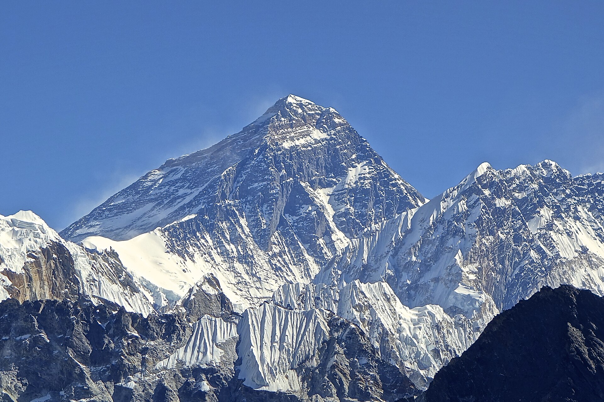
About Mount Everest
Mount Everest is the world’s highest mountain, rising to the jointly declared 2020 elevation of 8,848.86 metres on the Nepal–China border in the Great Himalayas . On its southern side, Everest is the dominant peak of Nepal’s Sagarmatha National Park, a UNESCO World Heritage property characterized by high mountains, glaciers, deep valleys, and Sherpa cultural heritage .
Open Mount Everest in Traverse at 27.98806° N, 86.92500° E to inspect 8,849 m of relief, 8,849 m of prominence, and approaches around Solukhumbu District, Nepal on 3D terrain.
Documented mountaineering milestones
- 1953 — First confirmed ascent via the south-east ridge: Edmund Hillary and Tenzing Norgay, on the British Everest Expedition led by John Hunt
Routes and approaches
A recognised Nepal-side approach reaches the Everest region through Sagarmatha National Park, commonly beginning with a flight from Kathmandu to Lukla followed by trekking toward the Khumbu and Everest Base Camp .
GPX-backed hiking and ski touring records near Solukhumbu District from the Traverse catalog. Metrics appear only when the source provides them.
More mountains in Traverse
Sources and provenance
- Wikidata
- Wikipedia
- Wikimedia Commons image
- Google Trends comparison
- Historical or route context
- Historical or route context
- Historical or route context
- Historical or route context

Mountain information is factual reference only, not a current conditions or safety report.
Page reviewed .