Pico de Orizaba
Citlaltépetl, otherwise known as Pico de Orizaba, is an active volcano and the highest volcano in North America, as well as the highest mountain in Mexico and third highest peak in North America, after Denali of the United States and Mount Logan of Canada. It rises 5,636 metres (18,491 ft) above sea level in the eastern end of the Trans-Mexican Volcanic Belt, on the border between the states of Veracruz and Puebla.
- Elevation
- 5,636 m
- Prominence
- 4,922 m
- Coordinates
- 19.03000° N, 97.27000° W
- Range
- Trans-Mexican Volcanic Belt
- Region
- Puebla, Mexico
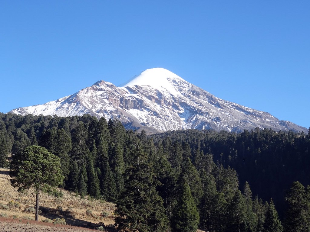
About Pico de Orizaba
Pico de Orizaba, also known as Volcán Citlaltépetl, is Mexico’s highest peak and North America’s highest volcano; the Smithsonian Global Volcanism Program classifies it as a stratovolcano in the Trans-Mexican Volcanic Arc. Its last known eruption was in 1846, and the volcano’s modern cone was constructed from andesitic and dacitic lavas during the late Pleistocene and Holocene .
Open Pico de Orizaba in Traverse at 19.03000° N, 97.27000° W to inspect 5,636 m of relief, 4,922 m of prominence, and approaches around Puebla, Mexico on 3D terrain.
Documented mountaineering milestones
- 1848 — First recorded ascent commonly credited during the Mexican-American War: U.S. soldiers F. Maynard and William F. Raynolds
- 1895 — Ascent of Pico de Orizaba documented in an Alpine Journal account: A. R. Hamilton
- 1941 — Ascent combined with summit altitude measurements: Georges Estoppey and Guido Tanner
Routes and approaches
A recognised north-side approach begins near Tlachichuca, continues by vehicle to the Piedra Grande base camp, and ascends via the Jamapa Glacier, while a separate south-face route is commonly accessed from Ciudad Serdán .
GPX-backed hiking and ski touring records near Puebla from the Traverse catalog. Metrics appear only when the source provides them.
More mountains in Traverse
Sources and provenance
- Wikidata
- Wikipedia
- Wikimedia Commons image
- Google Trends comparison
- Historical or route context
- Historical or route context
- Historical or route context
- Historical or route context

Mountain information is factual reference only, not a current conditions or safety report.
Page reviewed .