Mount Teide
Teide or Mount Teide is an active stratovolcano on the Spanish island of Tenerife, part of the Canary Islands. Its summit is the highest point in Spain and the highest of any island in the Atlantic Ocean.
- Elevation
- 3,715 m
- Prominence
- 3,715 m
- Coordinates
- 28.27264° N, 16.64361° W
- Range
- European mountains
- Region
- Santa Cruz de Tenerife Province, Spain
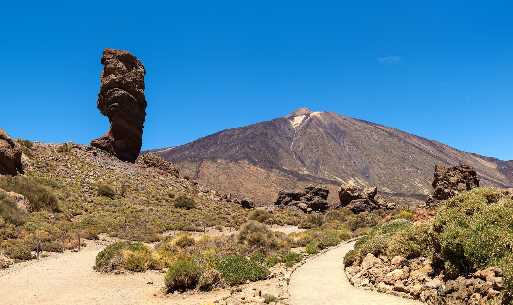
About Mount Teide
Mount Teide is a 3,718 m stratovolcano in Tenerife’s Teide National Park and the highest peak on Spanish soil . The volcano began forming approximately 170,000 years ago after the collapse of an earlier volcanic edifice that created the Las Cañadas caldera .
Open Mount Teide in Traverse at 28.27264° N, 16.64361° W to inspect 3,715 m of relief, 3,715 m of prominence, and approaches around Santa Cruz de Tenerife Province, Spain on 3D terrain.
Documented mountaineering milestones
- 1582 — First ascent traditionally documented in modern reference summaries: Sir Edmund Scory
- 2007 — Teide National Park inscribed on the UNESCO World Heritage List: UNESCO World Heritage Committee
Routes and approaches
The standard summit approach uses the PNT-10 Telesforo Bravo trail from La Rambleta, the upper cable-car station, while the trailhead can also be reached on foot via PNT-07 or PNT-09 .
GPX-backed hiking and ski touring records near Santa Cruz de Tenerife Province from the Traverse catalog. Metrics appear only when the source provides them.
More mountains in Traverse
Sources and provenance
- Wikidata
- Wikipedia
- Wikimedia Commons image
- Google Trends comparison
- Historical or route context
- Historical or route context
- Historical or route context
- Historical or route context

Mountain information is factual reference only, not a current conditions or safety report.
Page reviewed .