Gasherbrum I
Gasherbrum I, originally surveyed as K5, and also known as Hidden Peak, is the 11th highest mountain in the world at 8,080 metres (26,510 ft) above sea level. It is located between Shigar District in the Gilgit–Baltistan region of Pakistan and Tashkurgan in the Xinjiang province of China.
- Elevation
- 8,080 m
- Prominence
- 2,155 m
- Coordinates
- 35.72444° N, 76.69639° E
- Range
- Gasherbrum
- Region
- Kashgar Prefecture, Pakistan
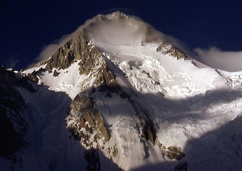
About Gasherbrum I
Gasherbrum I, also known as Hidden Peak, is an 8,068-meter mountain in the Karakoram Range of Baltistan in Pakistan-administered Kashmir and is the range’s second-highest peak. It lies southeast of K2 and is commonly ranked the world’s eleventh-highest mountain .
Open Gasherbrum I in Traverse at 35.72444° N, 76.69639° E to inspect 8,080 m of relief, 2,155 m of prominence, and approaches around Kashgar Prefecture, Pakistan on 3D terrain.
Documented mountaineering milestones
- 1958 — First ascent via the Roch Arête and southeast ridge: Peter K. Schoening and Andrew J. Kauffman, with the American Karakoram Expedition led by Nicholas B. Clinch
- 1975 — First Alpine-style ascent of an 8,000-meter peak without supplemental oxygen, via the northwestern face: Reinhold Messner and Peter Habeler
Routes and approaches
The historical approach described for the 1958 expedition proceeded from Skardu through Askole and along the Baltoro Glacier to Concordia, then to base camp near the junction of the Abruzzi and South Gasherbrum glaciers, from which the Roch Arête was climbed .
GPX-backed hiking and ski touring records near Kashgar Prefecture from the Traverse catalog. Metrics appear only when the source provides them.
More mountains in Traverse
Sources and provenance
- Wikidata
- Wikipedia
- Wikimedia Commons image
- Google Trends comparison
- Historical or route context
- Historical or route context
- Historical or route context
- Historical or route context

Mountain information is factual reference only, not a current conditions or safety report.
Page reviewed .