Pikes Peak
Pikes Peak or America's Mountain is an ultra-prominent fourteener of the Front Range of the Rocky Mountains of North America. Pikes Peak's summit, with an elevation of 14,115 ft (4,302 m) above sea level, is the easternmost fourteener in the United States.
- Elevation
- 4,302 m
- Prominence
- 1,686 m
- Coordinates
- 38.84056° N, 105.04417° W
- Range
- Front Range
- Region
- El Paso County, United States
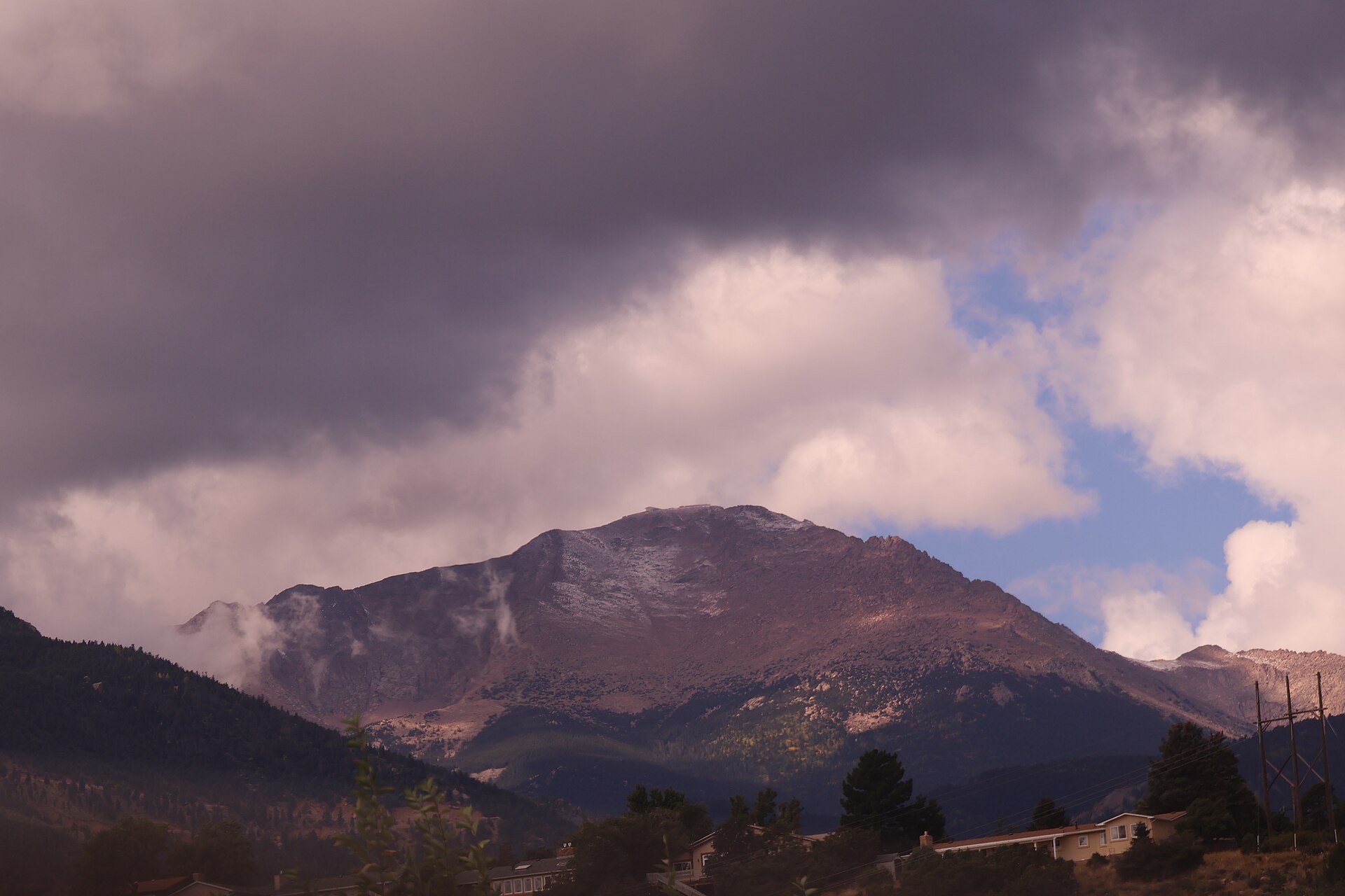
About Pikes Peak
Pikes Peak is the highest summit of Colorado’s southern Front Range of the Rocky Mountains, rising to 14,115 feet (4,302 m) and known in Ute cultural tradition as Tava-kaavi, or “Sun Mountain” . The mountain was first recorded by Lt.
Open Pikes Peak in Traverse at 38.84056° N, 105.04417° W to inspect 4,302 m of relief, 1,686 m of prominence, and approaches around El Paso County, United States on 3D terrain.
Documented mountaineering milestones
- 1820 — First recorded ascent of the summit during the Long Expedition: Edwin James and two companions
Routes and approaches
A recognized nontechnical access route is the Pikes Peak Highway, which ascends from the Colorado Springs area to the 14,115-foot summit over approximately 19 miles .
GPX-backed hiking and ski touring records near El Paso County from the Traverse catalog. Metrics appear only when the source provides them.
More mountains in Traverse
Sources and provenance
- Wikidata
- Wikipedia
- Wikimedia Commons image
- Google Trends comparison
- Historical or route context
- Historical or route context
- Historical or route context

Mountain information is factual reference only, not a current conditions or safety report.
Page reviewed .