Longs Peak
Longs Peak is a mountain in the northern Front Range of the Rocky Mountains of North America. The 14,256-foot (4345.22 m) fourteener is located in the Rocky Mountain National Park Wilderness, 9.6 miles (15.5 km) southwest by south of the Town of Estes Park, Colorado, United States.
- Elevation
- 4,345 m
- Prominence
- 2,772 m
- Coordinates
- 40.25501° N, 105.61511° W
- Range
- Front Range
- Region
- Colorado, United States
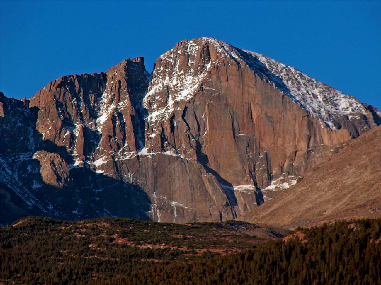
About Longs Peak
Longs Peak is a 14,259-foot summit in Rocky Mountain National Park and the park’s highest summit . The mountain’s first recorded ascent was made on August 23, 1868, by Major John Wesley Powell’s party via the southeast face .
Open Longs Peak in Traverse at 40.25501° N, 105.61511° W to inspect 4,345 m of relief, 2,772 m of prominence, and approaches around Colorado, United States on 3D terrain.
Documented mountaineering milestones
- 1868 — First recorded ascent via the southeast face: Major John Wesley Powell and party
Routes and approaches
The Keyhole Route is the recognized and popular route to Longs Peak’s summit from Rocky Mountain National Park, crossing the mountain’s northwestern side through the Keyhole before traversing steep summit terrain .
GPX-backed hiking and ski touring records near Colorado from the Traverse catalog. Metrics appear only when the source provides them.
More mountains in Traverse
Sources and provenance
- Wikidata
- Wikipedia
- Wikimedia Commons image
- Google Trends comparison
- Historical or route context
- Historical or route context
- Historical or route context
- Historical or route context

Mountain information is factual reference only, not a current conditions or safety report.
Page reviewed .