Mount Saint Helens
Mount St. Helens is an active stratovolcano located in Skamania County, Washington, in the Pacific Northwest region of the United States.
- Elevation
- 2,549 m
- Prominence
- 1,404 m
- Coordinates
- 46.20028° N, 122.18944° W
- Range
- Cascade Range
- Region
- Washington, United States
About Mount Saint Helens
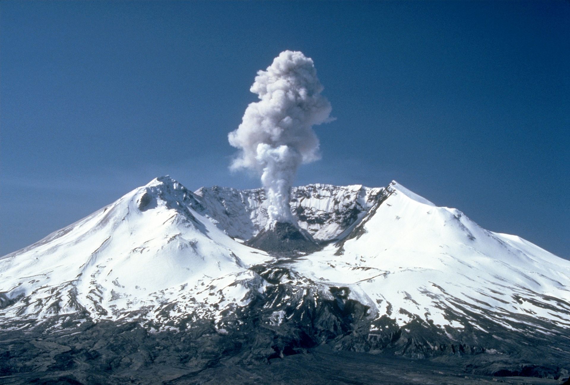
Mount Saint Helens is a stratovolcano in Washington’s Cascade Range whose summit elevation is 2,539 m (8,330 ft) after the 1980 eruption removed its upper approximately 400 m and left a horseshoe-shaped crater partly occupied by a lava dome and glacier . The Smithsonian Global Volcanism Program classifies it as a composite stratovolcano and records an elevation of 2,549 m (8,363 ft), reflecting a differing reference measurement, with the latest known eruption listed as 2008 .
Open Mount Saint Helens in Traverse at 46.20028° N, 122.18944° W to inspect 2,549 m of relief, 1,404 m of prominence, and approaches around Washington, United States on 3D terrain.
Documented mountaineering milestones
- 1853 — First recorded ascent, approaching from the south side and reaching the summit on August 26: Thomas J. Dryer, John Wilson, and two companions identified in the contemporary account as Smith and Drew
Routes and approaches
The standard summer approach is the non-technical Monitor Ridge route from Climbers Bivouac, beginning on Ptarmigan Trail #216A and gaining about 4,500 feet in five miles to the crater rim .
GPX-backed hiking and ski touring records near Washington from the Traverse catalog. Metrics appear only when the source provides them.
More mountains in Traverse
Sources and provenance
- Wikidata
- Wikipedia
- Wikimedia Commons image
- Google Trends comparison
- Historical or route context
- Historical or route context
- Historical or route context
- Historical or route context

Mountain information is factual reference only, not a current conditions or safety report.
Page reviewed .