Mount Rainier
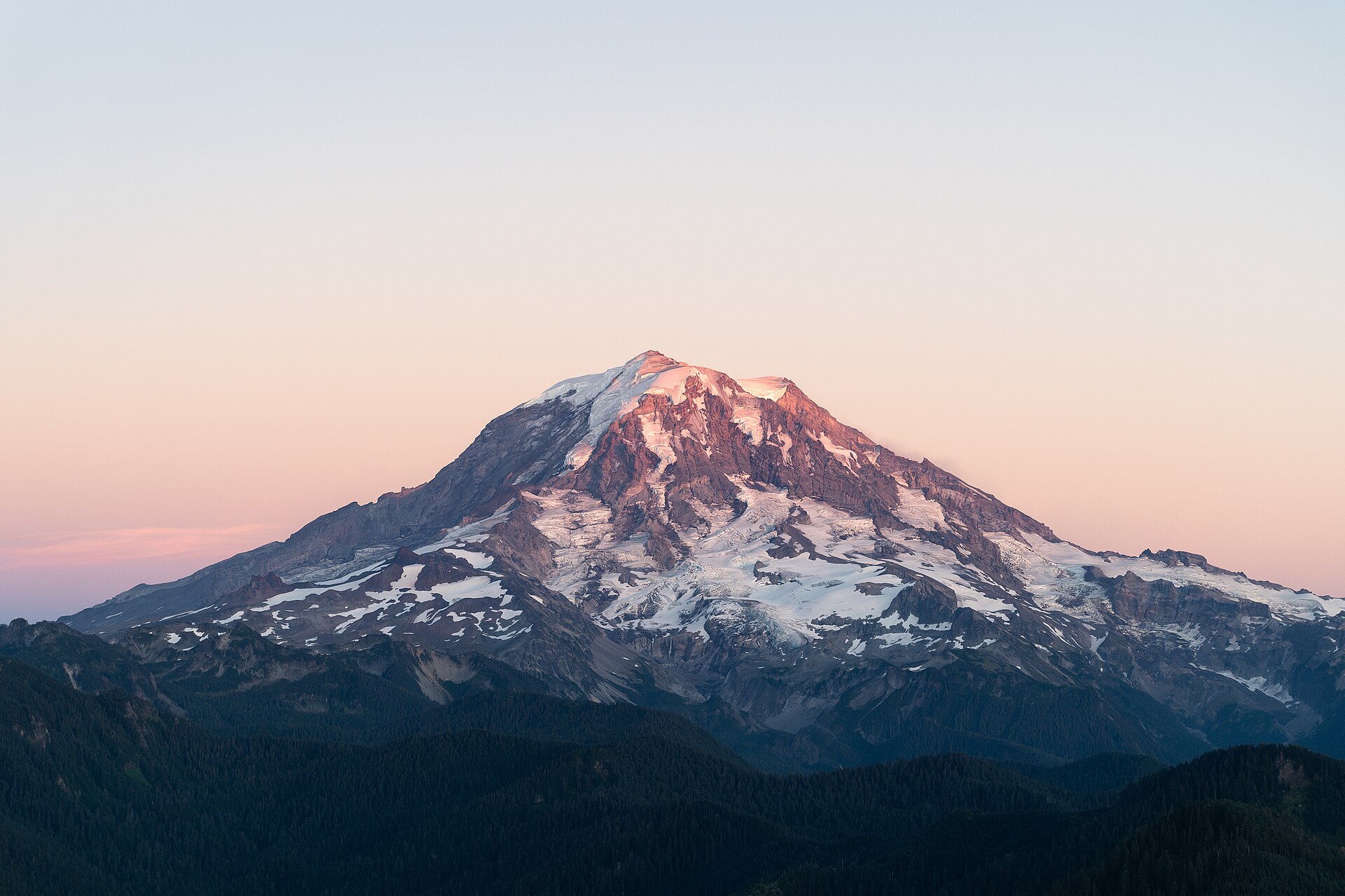
Mount Rainier, also known as Tahoma, is a large, active stratovolcano in the Cascade Range of the Pacific Northwest in the United States. The mountain is located in Mount Rainier National Park about 59 miles (95 km) south-southeast of Seattle.
- Elevation
- 4,389 m
- Prominence
- 4,030 m
- Coordinates
- 46.85167° N, 121.76028° W
- Range
- Cascade Range
- Region
- Washington, United States
About Mount Rainier
Mount Rainier is the highest peak in the Cascade Range, rising to 4,392 m (14,410 ft), and is a heavily glaciated stratovolcano in Pierce County, Washington . The National Park Service describes it as an active volcano and the most glaciated peak in the contiguous United States, with five major rivers originating from it .
Open Mount Rainier in Traverse at 46.85167° N, 121.76028° W to inspect 4,389 m of relief, 4,030 m of prominence, and approaches around Washington, United States on 3D terrain.
Documented mountaineering milestones
- 1870 — First documented successful ascent of Mount Rainier (then called Takhoma): Hazard Stevens and Philemon Beecher Van Trump
Routes and approaches
Camp Muir, at 10,188 feet just below the Cowlitz Cleaver, lies along the most traveled and direct route to Mount Rainier’s summit .
GPX-backed hiking and ski touring records near Washington from the Traverse catalog. Metrics appear only when the source provides them.
More mountains in Traverse
Sources and provenance
- Wikidata
- Wikipedia
- Wikimedia Commons image
- Google Trends comparison
- Historical or route context
- Historical or route context
- Historical or route context
- Historical or route context

Mountain information is factual reference only, not a current conditions or safety report.
Page reviewed .