Mount Mitchell
Mount Mitchell is the highest peak of the Appalachian Mountains and the highest peak in mainland North America east of the Mississippi River. It is located near Burnsville in Yancey County, North Carolina in the Black Mountain subrange of the Appalachians about 19 miles (31 km) northeast of Asheville.
- Elevation
- 2,037 m
- Prominence
- 1,857 m
- Coordinates
- 35.76472° N, 82.26528° W
- Range
- Black Mountains
- Region
- Yancey County, United States
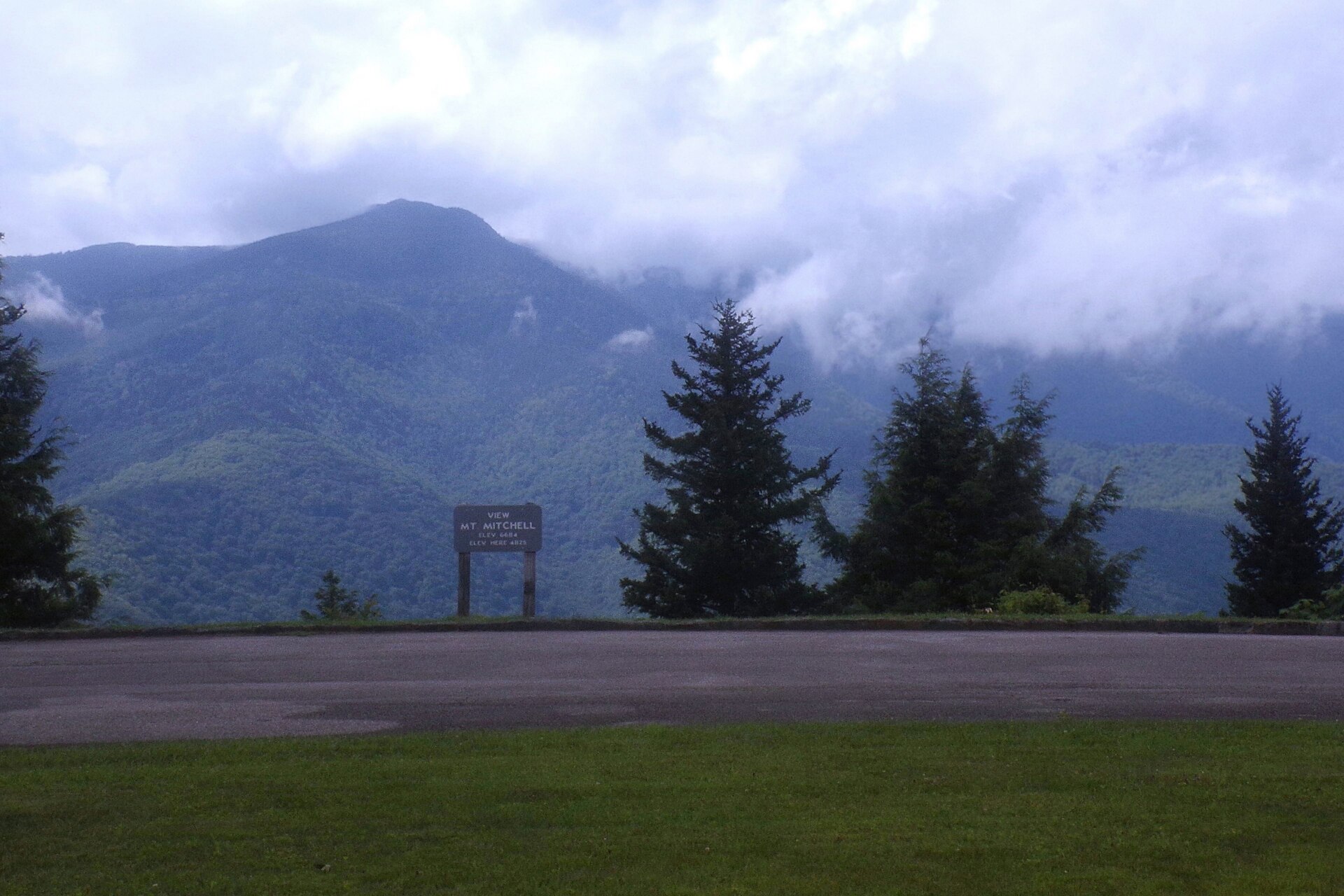
About Mount Mitchell
Mount Mitchell rises to 6,684 feet and is the highest point east of the Mississippi River in the United States . It lies in North Carolina’s Black Mountains and is protected within Mount Mitchell State Park, the first state park created in North Carolina in 1915 .
Open Mount Mitchell in Traverse at 35.76472° N, 82.26528° W to inspect 2,037 m of relief, 1,857 m of prominence, and approaches around Yancey County, United States on 3D terrain.
Documented mountaineering milestones
- 1835 — First recorded scientific elevation survey of the summit area using barometric readings and mathematical calculations: Elisha Mitchell
- 1857 — Returned to verify elevation measurements and died during exploration of the mountain after falling from a cliff near Mitchell Falls: Elisha Mitchell
- 1915 — Mount Mitchell designated North Carolina’s first state park amid efforts to preserve the mountain’s forest from logging: North Carolina General Assembly
Routes and approaches
The summit can be reached by a side trip from the Blue Ridge Parkway via North Carolina Highway 128, with the state park providing summit trails and a parking area near the top .
GPX-backed hiking and ski touring records near Yancey County from the Traverse catalog. Metrics appear only when the source provides them.
More mountains in Traverse
Sources and provenance
- Wikidata
- Wikipedia
- Wikimedia Commons image
- Google Trends comparison
- Historical or route context
- Historical or route context
- Historical or route context
- Historical or route context

Mountain information is factual reference only, not a current conditions or safety report.
Page reviewed .