Mount Katahdin
Mount Katahdin is the highest mountain in the U.S. state of Maine at 5,269 feet (1,606 m).
- Elevation
- 1,606 m
- Prominence
- 4,288 m
- Coordinates
- 45.90436° N, 68.92127° W
- Range
- White Mountains
- Region
- Piscataquis County, United States
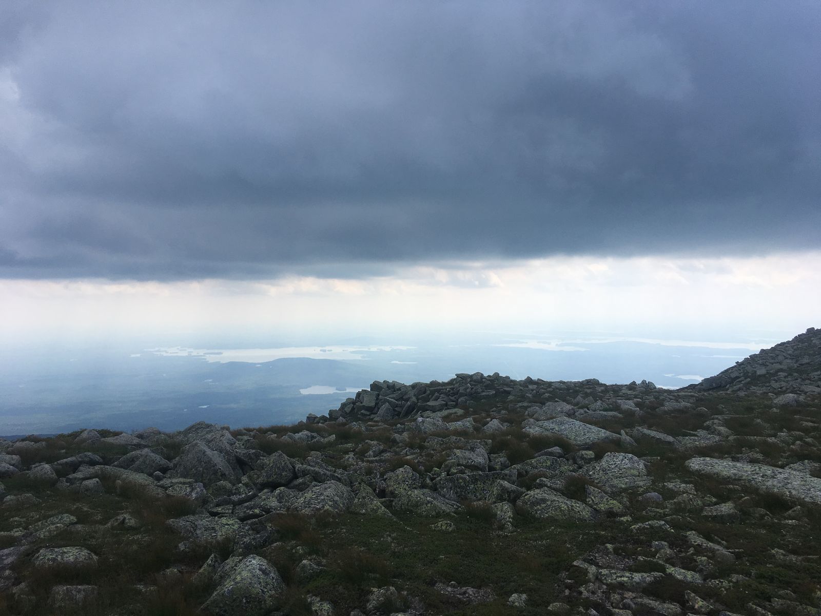
About Mount Katahdin
Mount Katahdin, whose name is commonly translated from Penobscot as “The Greatest Mountain,” is the highest mountain in Maine at 5,269 feet and forms the centerpiece of Baxter State Park . It is also the northern terminus of the Appalachian Trail and has long been a significant landmark in northern New England .
Open Mount Katahdin in Traverse at 45.90436° N, 68.92127° W to inspect 1,606 m of relief, 4,288 m of prominence, and approaches around Piscataquis County, United States on 3D terrain.
Documented mountaineering milestones
- — — Not supplied: The source profile does not provide a notable-ascent entry.
Routes and approaches
Recognised approaches in Baxter State Park include the Hunt Trail from Katahdin Stream, the Abol Trail from Abol Campground, and routes from Roaring Brook via Chimney Pond; the park identifies the Hunt Trail as the Appalachian Trail route to Baxter Peak .
GPX-backed hiking and ski touring records near Piscataquis County from the Traverse catalog. Metrics appear only when the source provides them.
More mountains in Traverse
Sources and provenance
- Wikidata
- Wikipedia
- Wikimedia Commons image
- Google Trends comparison
- Historical or route context
- Historical or route context
- Historical or route context
- Historical or route context

Mountain information is factual reference only, not a current conditions or safety report.
Page reviewed .