Mount Hood
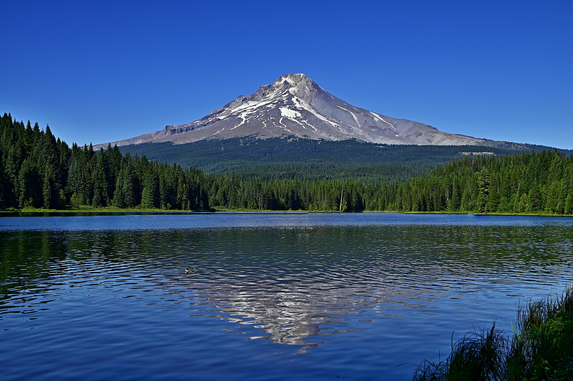
Mount Hood is an active stratovolcano in the Cascade Range and is a member of the Cascade Volcanic Arc. It was formed by a subduction zone on the Pacific Coast and rests in the Pacific Northwest region of the United States.
- Elevation
- 3,425 m
- Prominence
- 7,706 m
- Coordinates
- 45.37361° N, 121.69583° W
- Range
- Oregon Cascades
- Region
- Hood River County, United States
About Mount Hood
Mount Hood is a stratovolcano in northwestern Oregon, about 50 miles east of Portland, and at 11,244 feet is Oregon’s highest point and the fourth-highest peak in the Cascade Range . The mountain is centered in the Mount Hood National Forest and is the state’s tallest volcanic mountain .
Open Mount Hood in Traverse at 45.37361° N, 121.69583° W to inspect 3,425 m of relief, 7,706 m of prominence, and approaches around Hood River County, United States on 3D terrain.
Documented mountaineering milestones
- 1857 — First officially recorded summit ascent: Henry Pittock and team
- 1894 — Founding of the Mazamas on the summit of Mount Hood: William G. Steel and 104 other charter members
Routes and approaches
The South Side is the mountain’s most commonly followed climbing route, with the Mount Hood National Forest identifying climbing access and permit administration for travel above 9,500 feet .
GPX-backed hiking and ski touring records near Hood River County from the Traverse catalog. Metrics appear only when the source provides them.
More mountains in Traverse
Sources and provenance
- Wikidata
- Wikipedia
- Wikimedia Commons image
- Google Trends comparison
- Historical or route context
- Historical or route context
- Historical or route context
- Historical or route context

Mountain information is factual reference only, not a current conditions or safety report.
Page reviewed .