Mount Baker
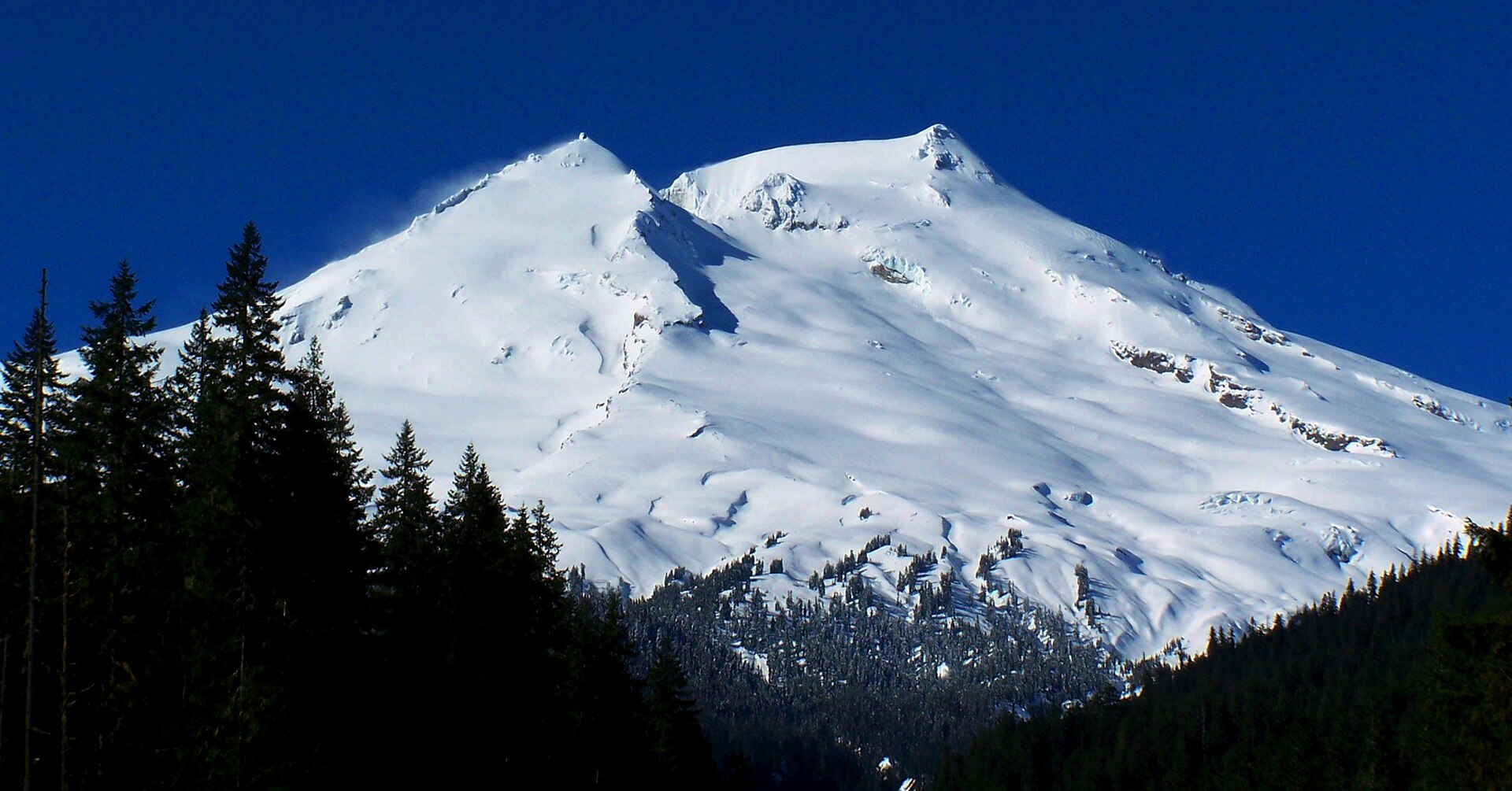
Mount Baker, also known as Koma Kulshan or simply Kulshan, is a 10,781-foot (3,286 m) active glacier-covered andesitic stratovolcano in the Cascade Volcanic Arc and the North Cascades of Washington State in the United States. Mount Baker has the second-most thermally active crater in the Cascade Range after Mount St.
- Elevation
- 3,286 m
- Prominence
- 2,686 m
- Coordinates
- 48.77734° N, 121.81320° W
- Range
- Skagit Range
- Region
- Whatcom County, United States
About Mount Baker
Mount Baker is a stratovolcano in northern Washington and the highest peak in the North Cascades, rising to 3,286 m (10,781 ft). The U.S.
Open Mount Baker in Traverse at 48.77734° N, 121.81320° W to inspect 3,286 m of relief, 2,686 m of prominence, and approaches around Whatcom County, United States on 3D terrain.
Documented mountaineering milestones
- 1868 — First recorded ascent of the summit via the Lummi River approach and the mountain’s south-side snowfields: Edmund T. Coleman, John Tennant, Thomas Stratton, and David Ogilvy, accompanied by Lummi guides
Routes and approaches
The U.S. Forest Service lists the Coleman Glacier and Easton Glacier as popular approaches, with northern approaches beginning from Heliotrope Ridge or Ptarmigan Ridge trails and southern approaches using the Park Butte and Scott Paul trails.
GPX-backed hiking and ski touring records near Whatcom County from the Traverse catalog. Metrics appear only when the source provides them.
More mountains in Traverse
Sources and provenance
- Wikidata
- Wikipedia
- Wikimedia Commons image
- Google Trends comparison
- Historical or route context
- Historical or route context
- Historical or route context

Mountain information is factual reference only, not a current conditions or safety report.
Page reviewed .