Kangchenjunga
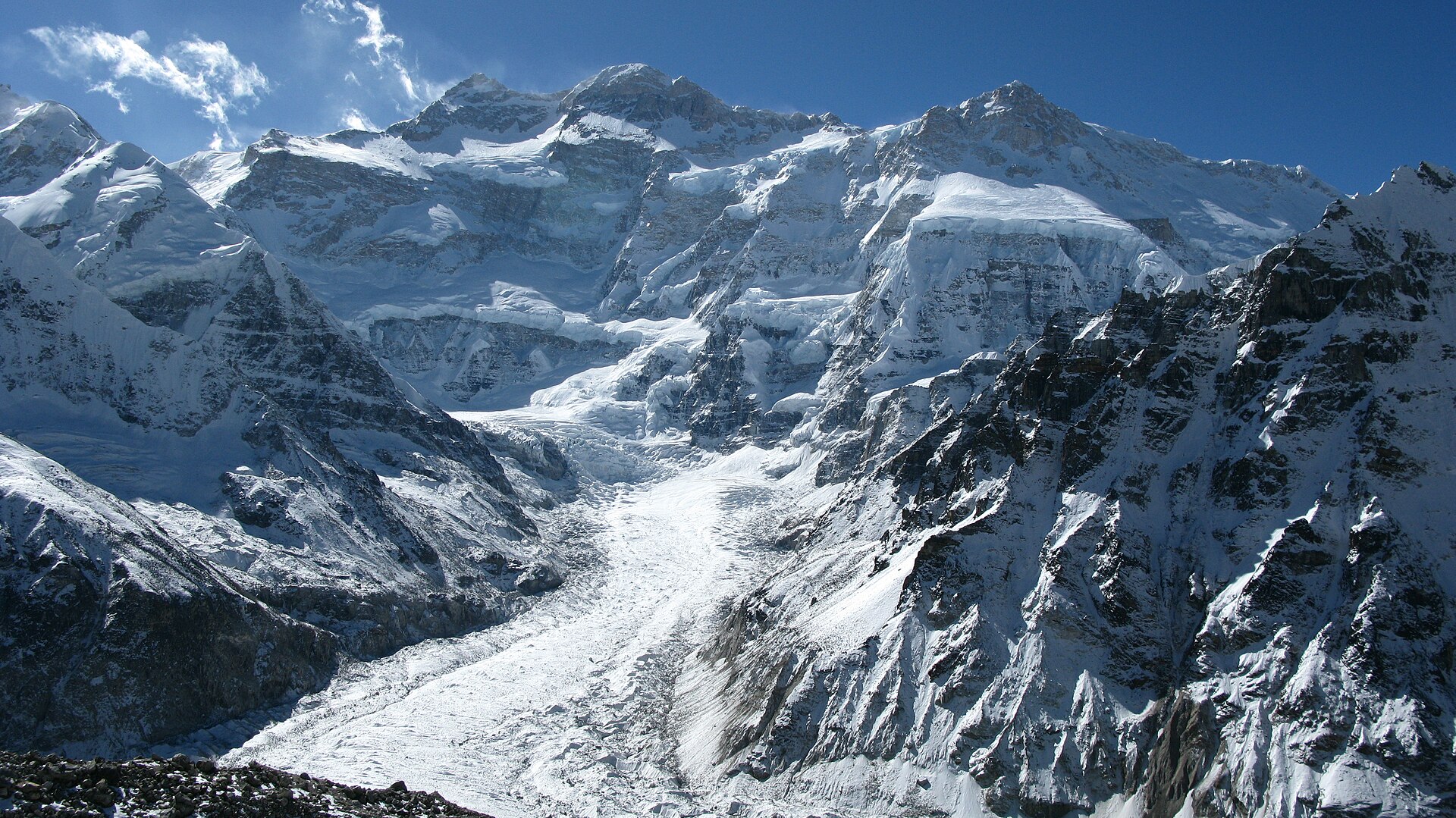
Kangchenjunga is the third-highest mountain in the world. Its summit lies at 8,586 m (28,169 ft) in a section of the Himalayas, the Kangchenjunga Himal, which is bounded in the west by the Tamur River, in the north by the Lhonak River and Jongsang La, and in the east by the Teesta River.
- Elevation
- 8,586 m
- Prominence
- 3,922 m
- Coordinates
- 27.70300° N, 88.14735° E
- Range
- Himalayas
- Region
- Taplejung District, India
About Kangchenjunga
Kangchenjunga is the world’s third-highest mountain, rising to 8,586 metres in the eastern Himalayas on the border of Sikkim, India, and eastern Nepal . Its massif has four principal ridges and glaciers, and its name is commonly interpreted in Sikkim as “Five Treasuries of the Great Snow,” reflecting its religious and cultural importance .
Open Kangchenjunga in Traverse at 27.70300° N, 88.14735° E to inspect 8,586 m of relief, 3,922 m of prominence, and approaches around Taplejung District, India on 3D terrain.
Documented mountaineering milestones
- 1899 — First European circuit of the mountain: Douglas Freshfield
- 1955 — First ascent via the southwestern/Yalung face, with the climbers stopping short of the true summit in accordance with local religious wishes: Joe Brown and George Band, on Charles Evans’s British expedition
Routes and approaches
On the Nepalese side, the recognized Kanchenjunga Conservation Area approach is associated with trekking and mountaineering access via Taplejung, reached by air from Kathmandu through Biratnagar .
GPX-backed hiking and ski touring records near Taplejung District from the Traverse catalog. Metrics appear only when the source provides them.
More mountains in Traverse
Sources and provenance
- Wikidata
- Wikipedia
- Wikimedia Commons image
- Google Trends comparison
- Historical or route context
- Historical or route context
- Historical or route context
- Historical or route context

Mountain information is factual reference only, not a current conditions or safety report.
Page reviewed .