Dhaulagiri I
Dhaulagiri, located in Nepal, is the seventh highest mountain in the world at 8,167 metres (26,795 ft) above sea level, and the highest mountain within the borders of a single country. Dhaulagiri I is also the highest point of the Gandaki river basin.
- Elevation
- 8,167 m
- Prominence
- 3,357 m
- Coordinates
- 28.69667° N, 83.49000° E
- Range
- Himalayas
- Region
- Gandaki Province, Nepal
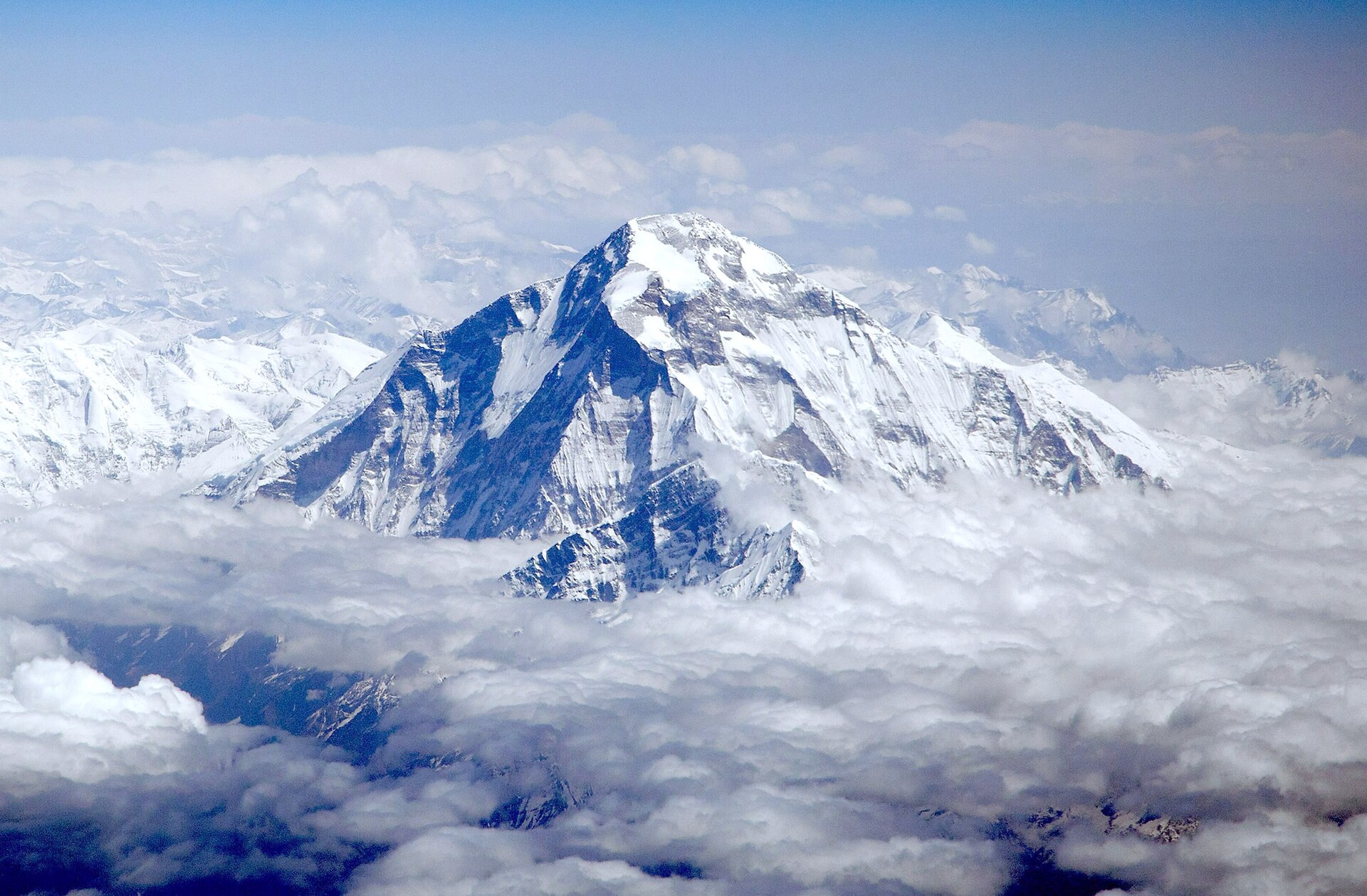
About Dhaulagiri I
Dhaulagiri I is a Himalayan peak in west-central Nepal, west of the Kali River gorge and northwest of Annapurna, rising to 8,167 metres and ranking as the world's seventh-highest mountain . Its steep south wall and severe climate contributed to a difficult climbing history, and the summit was first reached on 13 May 1960 .
Open Dhaulagiri I in Traverse at 28.69667° N, 83.49000° E to inspect 8,167 m of relief, 3,357 m of prominence, and approaches around Gandaki Province, Nepal on 3D terrain.
Documented mountaineering milestones
- 1960 — First ascent via the route that became the mountain's main route, reaching the summit on 13 May: Kurt Diemberger, Peter Diener, Ernst Forrer, Albin Schelbert, Nima Dorje Sherpa, and Nawang Dorje Sherpa
- 1960 — Second summit party reached the summit ten days after the first ascent: Michel Vaucher and Hugo Weber
Routes and approaches
The recognised original approach used the Mayangdi Khola to the Mayangdi Glacier and then the northeast ridge from the northeast col; the 1960 expedition's route remains the mountain's main route according to the UIAA account .
GPX-backed hiking and ski touring records near Gandaki Province from the Traverse catalog. Metrics appear only when the source provides them.
More mountains in Traverse
Sources and provenance
- Wikidata
- Wikipedia
- Wikimedia Commons image
- Google Trends comparison
- Historical or route context
- Historical or route context
- Historical or route context

Mountain information is factual reference only, not a current conditions or safety report.
Page reviewed .